Ever Wonder Who Figured Out Earth’s Shape? It’s Not Who You Think!
A Peek into Ancient Measuring Tricks
Okay, so you’re curious about who invented geodesy, right? Well, it’s not like someone woke up one morning and shouted, “Eureka! Earth’s a weird shape!” It’s more like a long, winding story, with lots of clever folks contributing along the way. Think of it like baking a really complex cake – everyone adds a little something to make it delicious.
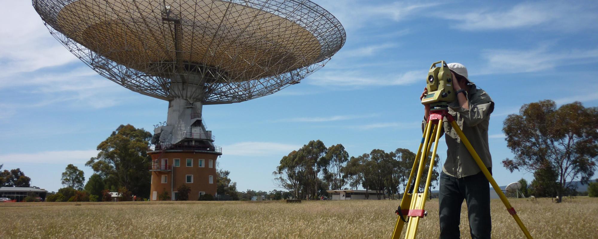
Way back when, the Egyptians and Babylonians were the OG surveyors. They needed to measure land for farming and build those massive pyramids. Imagine trying to line up those giant stones without any fancy gadgets! They were basically doing geodesy before it was even a thing. They had to know their angles and distances, and they got pretty good at it. It was all very practical, like figuring out how much flour you need for a recipe.
Then the Greeks came along, and they were all about the “why” instead of just the “how.” A dude named Eratosthenes, around 240 BC, actually calculated Earth’s circumference using shadows and some brainy math. He was surprisingly accurate, which is pretty mind-blowing when you think about it. They shifted geodesy from just doing to actually understanding. It’s like going from just following the recipe to understanding the science of baking.
So, the real answer? It’s not one person, but a whole bunch of brilliant minds over thousands of years. From practical land measurements to serious scientific calculations, geodesy is a testament to our ongoing curiosity about our planet. And let’s be real, who hasn’t looked at a map and wondered how they figured all that out?

From Old-School Tools to Satellites: Geodesy’s Wild Ride
Tech Upgrades and Earth Mapping
Geodesy didn’t just stop with the ancients, though! Fast forward a bit, and you’ve got telescopes, fancy math, and better measuring tools. It’s like watching your old flip phone turn into a super-smart smartphone. Everything got way more precise. You know, like going from guessing the temperature to having a digital thermometer.
In the 1700s and 1800s, countries started mapping their territories, which was a huge undertaking. They used triangulation, which is basically a fancy way of figuring out distances by measuring angles. It took a ton of effort and planning. Imagine trying to map your entire neighborhood with just a ruler and protractor. It was a serious job!
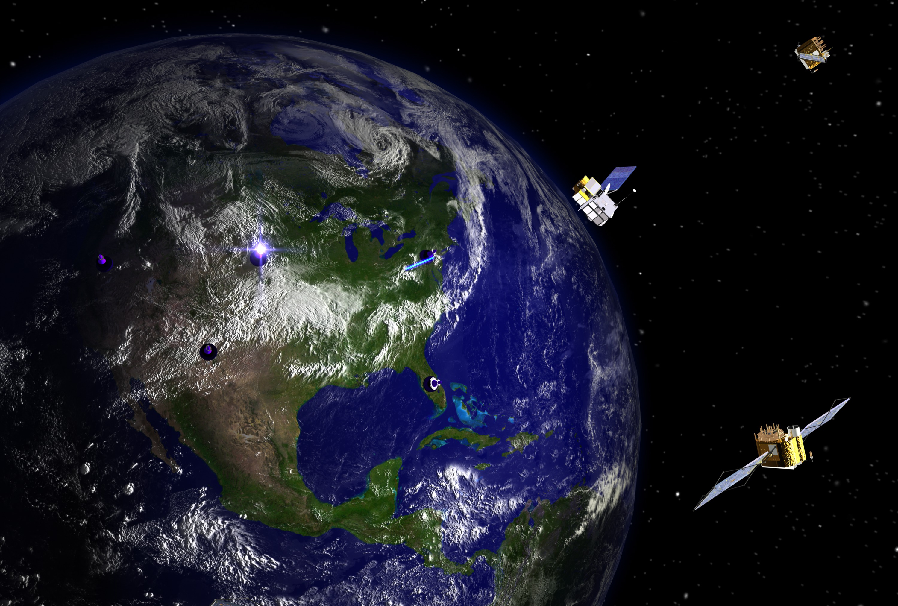
Then, bam! The 20th century rolls around, and we’re sending satellites into space. Suddenly, we can measure Earth’s shape and gravity with insane accuracy. GPS and other satellite tech completely changed the game. It’s like going from drawing a picture to having a high-definition photograph. You can pinpoint your location down to millimeters! Crazy, right?
These days, geodesy is all about lasers, flying sensors, and super-smart computers. We’re constantly finding new ways to understand our planet, from tectonic plates shifting to sea levels rising. It’s a field that’s always pushing boundaries. Who knows what they’ll come up with next?

Why Should You Care About Earth’s Shape, Anyway?
Geodesy’s Secret Life in Our Daily Stuff
Okay, so you might be thinking, “Cool, but why does this matter to me?” Well, geodesy is actually a big deal in your everyday life, even if you don’t realize it. It’s like the unsung hero of modern living. Think of it as the WiFi of the Earth sciences – it’s always there, working behind the scenes.
Your phone’s GPS, for example, relies on super-accurate geodetic data. When you use maps or navigation apps, you’re using the work of geodesists. Construction projects, like bridges and skyscrapers, need precise surveying to make sure they’re stable. And geodesy helps us monitor environmental changes, like rising sea levels. It’s used in building, navigating, and protecting.
It also plays a huge role in predicting natural disasters. By tracking the movement of tectonic plates and changes in gravity, scientists can get a better idea of when earthquakes or volcanic eruptions might happen. It’s like having a super-advanced weather forecast, but for the Earth itself. Which is pretty handy, right?
Basically, geodesy is more than just measuring the Earth. It’s about understanding and managing our planet. It helps us navigate, build, and keep ourselves safe. And it touches everyone, even if they don’t give it a second thought.

What’s Next for Geodesy? The Future is Now!
Cool Tech and Big Challenges
Geodesy is always changing, thanks to new tech and the need to solve big problems. We’re moving towards a future where we can track Earth’s movements in real-time. Imagine having a live feed of the planet’s pulse!
One big thing is using AI and machine learning to analyze all the geodetic data. These smart tools can find hidden patterns and make new discoveries. For example, AI can spot subtle changes in gravity that might indicate underground water or hidden geological features. It’s like having a super-smart detective for the Earth.
We’re also getting better sensors on satellites, which means even more accurate data about Earth’s shape, gravity, and movements. It’s like upgrading from a regular camera to a super high-resolution one. We’ll get an even clearer picture of our planet.
Geodesy is also crucial for tackling climate change. By tracking sea levels, ice melt, and land changes, we can get better information for climate models and solutions. It’s a key part of understanding and reacting to our changing climate. And as tech gets better, the data will be even more useful.
Got Questions About Geodesy? Let’s Clear Things Up!
Your Geodesy FAQs Answered
We’ve covered a lot, but you might still have some questions swirling around. Let’s tackle a few common ones.
What’s the difference between geodesy and geography?
Geodesy is all about measuring Earth’s shape and gravity, while geography is a broader field that studies Earth’s surface, people, and places. Think of geodesy as the science behind the maps you see in geography. It’s like the difference between a mechanic and a driver.
How does GPS work with geodesy?
GPS uses geodetic data to figure out your location. Satellites send signals that are used to calculate your position based on their known locations and the time it takes for the signals to reach your device. Geodesy provides the accurate coordinates and reference points that make GPS possible. It’s like geodesy built the road, and GPS is the car driving on it.
Why is geodesy important for climate change?
Geodesy helps us track changes in sea level, ice, and land, which are key signs of climate change. By measuring these changes, scientists can better understand the impacts of climate change and come up with solutions. It’s like having a vital set of tools to monitor the health of our planet.
